All maps including NYC subway and transit maps; no internet required
Offline line maps for New York City (MTA). It includes a complete set of offline maps for NYC public transport: subway, bus, railroad, ferry and airport.
No internet connection required.
You can zoom in, zoom out, scroll around. Very simple and easy to use!
This app is excellent for visitors to NYC and permanent New Yorkers alike.
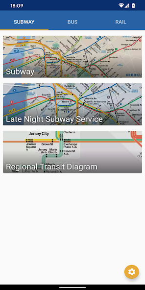
All maps included in the app:
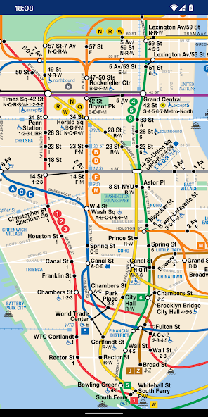
- Subway System
- Subway Late Night Service Map
- Regional Transit Diagram
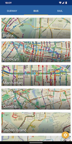
- Bus map for Bronx
- Bus map for Brooklyn
- Bus map for Manhattan
- Bus map for Queens
- Bus map for Staten Island
- Bus map for Staten Island Express Bus
- Rail map for Long Island Rail Road network map (LIRR)
- Rail map for Metro-North Railroad
- Rail map for Staten Island Railway (SIR)
- CT rail
- Hartford line
- New Haven line
- Short Line East
- Amtrak
- CT fastrak
- PATH rail system
- JFK AirTrain
- JFK Airport
- NYC Ferry
- New Jersey Transit
- NJ Transit Train System map
- Huston-Bergen Light Rail
- Newark Light Rail
- River LINE
- Montclair-Boonton Line
- Morristown Line
- Main Line
- Bergen Line
- Pascack Valley Line
- Meadowlands Rail Line
- Gladstone Branch
- Raritan Valley Line
- Northeast Corridor
- North Jersey Coast Line
- Atlantic City Line
- Patco High Speed Line
- City map
- Metro, Subway, and Underground maps
Support indie developers! If you have any problems or feedback, please send an email. Thank you!
Read more